Drone scouting for your farm
See your whole field. Know where to focus.
An up-to-date, detailed view of your fields. Look between the rows, compare scans and chat with your AI Advisor to explore areas that need a closer look, before you head out into the field.
$1 per acre · No contracts · No commitment
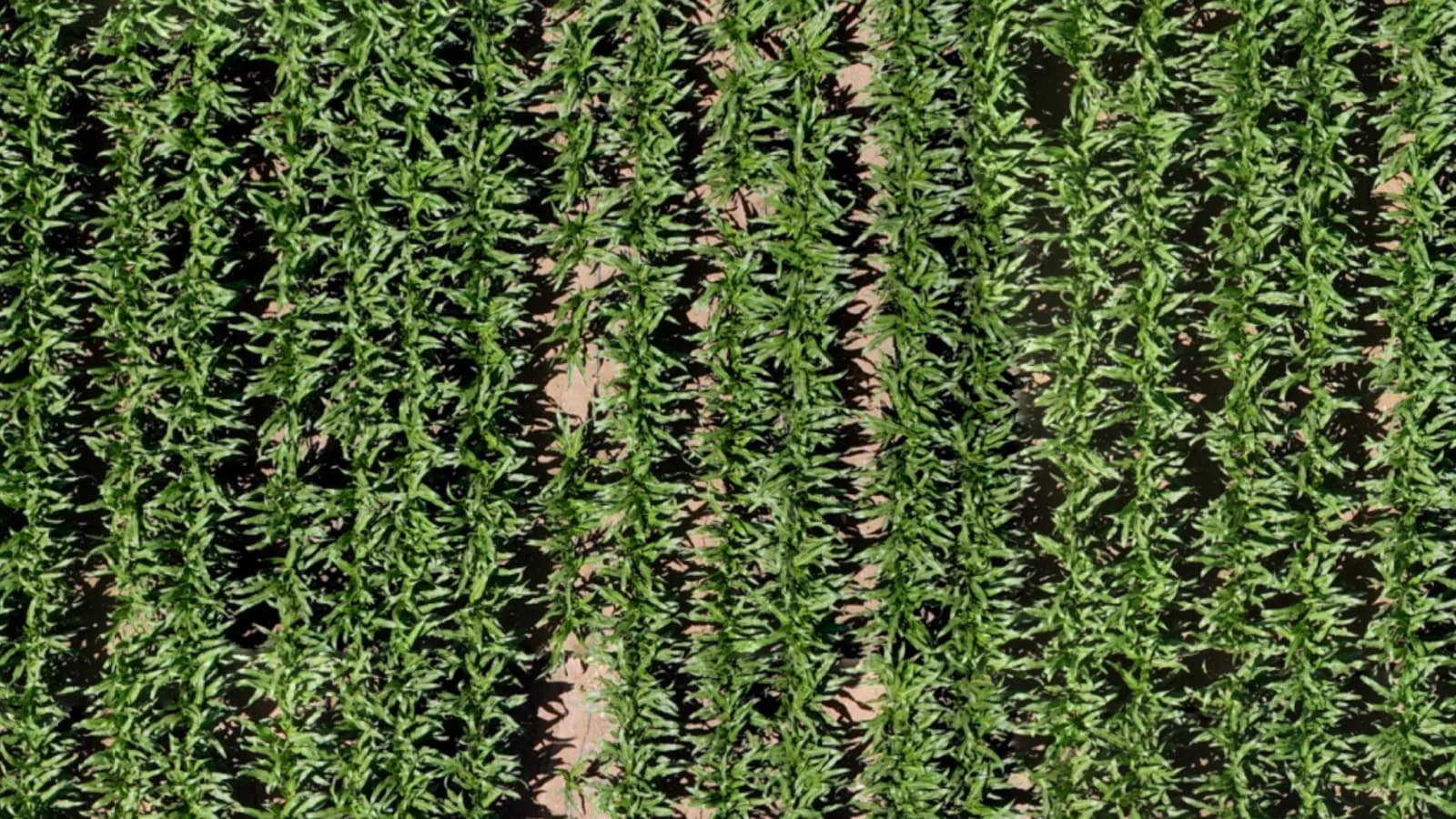
- $1 per acre
- Minimum order: 500 acres
- 500 acres free
- Try the service on your own land
- When you need it
- Scans by arrangement, throughout the season
- No commitment
- No contracts or subscription
More than a picture from above
A map you can work with.
Zoom into the details, measure an area, compare scans and ask your AI Advisor to explore the field with you. Your map, tools and conversation, in one place.
Field map
See the details
AI Advisor
Ask, explore and locate issues
South 1
Field 23 · 3 scans
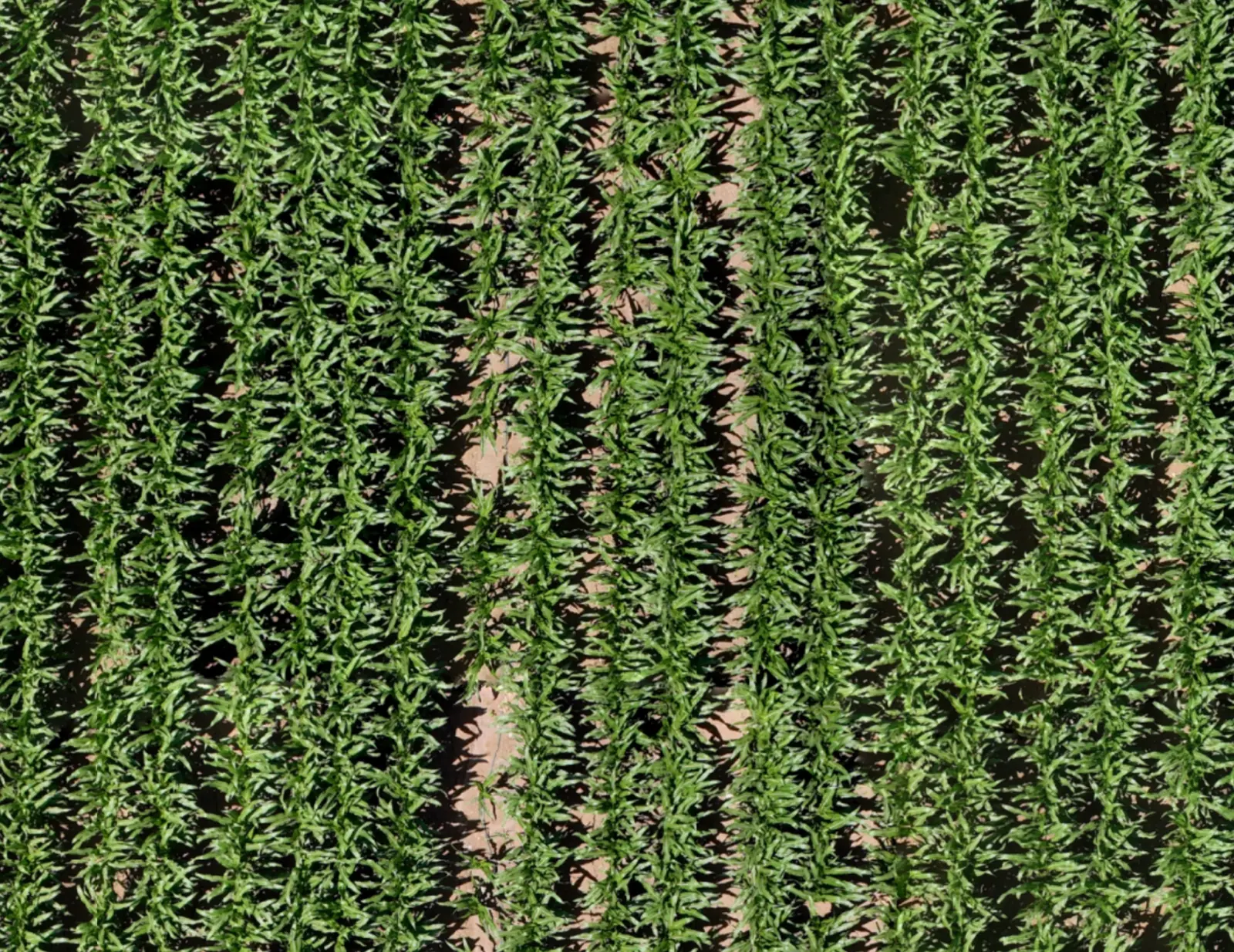
Select an area or ask me what stands out.
This looks like a broadleaf weed patch. I've outlined the suspected area on your map: about 0.07 acres.
Check this spot on the ground to confirm the weeds before deciding on treatment.
Measure and locate
From image to field location
Location
- Lat
- 31.857275
- Lng
- 34.993211
Interface redrawn for illustration.
Compare dates
See what changed
South 1
Field 23 · comparing 2 scans
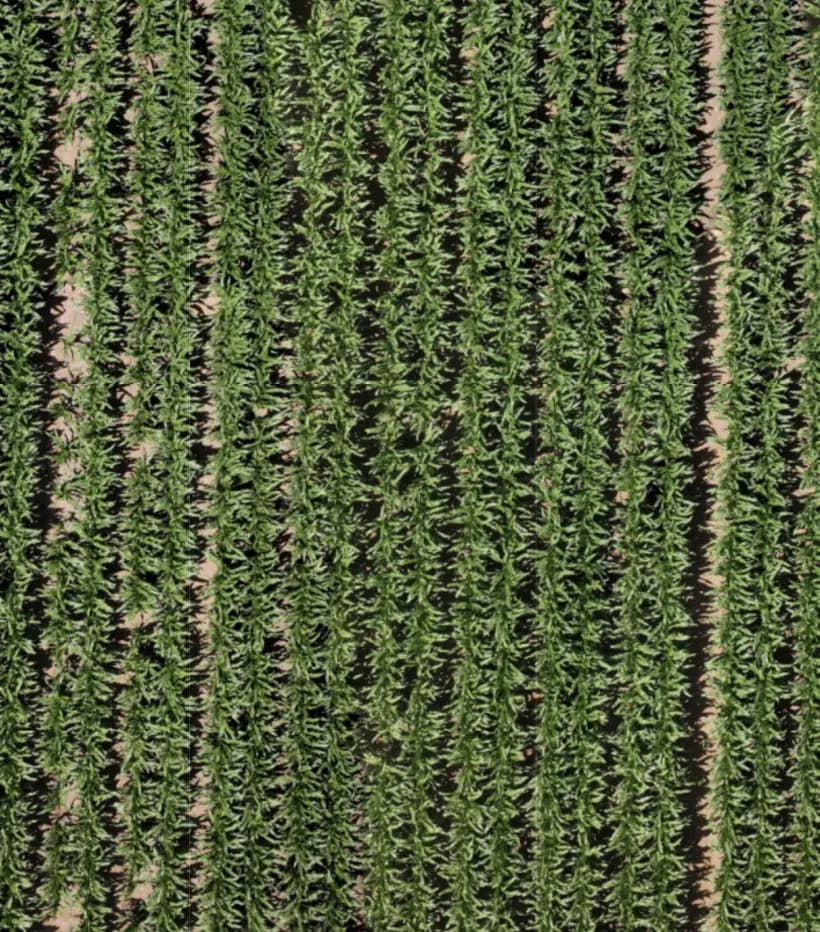
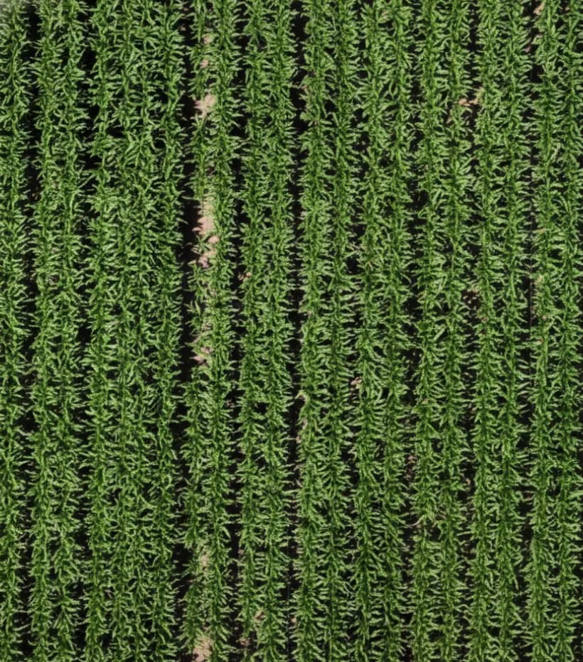
Original field imagery. Scans from 11-13-2025 and 11-27-2025.
From the map to your daily work
Less guessing. More seeing.
Your knowledge of the field, paired with a view of what can be hard to spot from the track.
Focus your next field visit
Look for visible differences in crop growth and mark areas worth checking on the ground.
Turn a question into a field check
Ask your AI Advisor about a suspicious patch, then have it look for similar areas across the field, so you know where to inspect next.
See what changed after a treatment
Compare scans before and after irrigation or fertilization, and examine changes over time.
Keep your field's history
Revisit earlier dates in the season to see which areas have changed and which need follow-up.
Working with an ag retailer or a crop adviser? Bring them into the conversation. The map is most useful with your adviser looking at it too.
A 30-minute call with the Infrag team
See it on fields you know.
Meet your AI Advisor
Your field. Your AI Advisor.
Ask questions, explore crop details, and find areas that need a closer look. Your AI Advisor can see your field map and help you inspect a patch or search for similar issues across the field.
- Ask
Ask about what you are looking at
Ask "What's happening in this patch?" with the area on screen as context.
- You: What's happening in this patch?
- AI Advisor: This looks like a broadleaf weed patch. I've outlined the suspected area on your map: about 0.07 acres. Check this spot on the ground to confirm the weeds before deciding on treatment.
- Explore
Let the Advisor look around
It can scan the field, zoom in and out, and inspect crop detail as part of the conversation.
- You: What stands out in the north half?
- AI Advisor: I went over the north half at closer zoom. Most of the stand looks even. Two areas near the east edge look thinner than the crop around them. I've marked both as suspected thin stand for a ground check.
- Find similar
Go from one patch to the whole field
Ask it to look for similar suspected areas elsewhere in the field. Each one is outlined on the map with its location.
- AI Advisor: Would you like me to scan the rest of the field and mark other suspected patches of the same weeds?
- You: Yes, mark them.
- AI Advisor: 3 more suspected patches marked. Each one has a location you can walk to.
You know your land. We bring the picture.
From your field to your screen.
Where we serve
Your land. Our local focus.
Field scouting for farmers in the United States and Israel. Tell us where you grow, and we'll confirm availability for your fields.
United States
From row crops to orchards, start with your field location and acreage. We'll discuss coverage and arrange your next scan.
Israel
Scouting for agricultural fields across Israel. Share your location and crop type to check availability and coordinate a scan.
Scan availability and scheduling are confirmed for each location.
Simple pricing. An easy start.
Start with your own land.
Your first 500 acres are free, so you can try the map and tools on a field you know. After that, book a scan when you need one. See the value for yourself.
- Detailed drone map of your field
- AI Advisor chat with field exploration and issue mapping
- Location, annotation and measurement tools
- Scan archive and date comparisons
- No contract. No commitment.
On-demand scanning
$1per acre
Minimum order: 500 acres
- Price per acre, per scan
- $1
- Standard scan estimate
Before you start
Questions from the field.
No. Infrag carries out the scan and provides the map and tools to explore your field.
The map helps you spot differences in vegetation and mark areas to inspect. The AI Advisor can help inspect the imagery and locate suspected issues. Confirm the cause and the right response on the ground, using your expertise and an agronomist when needed.
Yes. Scans are on demand, with no contract or commitment. Scheduling depends on your field location and operating conditions.
We serve farmers in the United States and Israel. Share your field location so we can confirm local availability and arrange a scan.
Send us an email with your field location, crop type and contact details. We will get in touch to arrange the scan and explain the offer.
Let's see your field
Your first 500 acres. On us.
Tell us where your fields are and what you grow. We will start with a short conversation and arrange your scan.