AI Agent
Ask the field a question.
A detailed drone map of every field your growers enroll, and an AI Agent for your agronomy team that works on it. It inspects a patch you point to, searches the rest of the field for areas that look similar and turns what it finds into a spraying map.
Included with every scan · Your advisor stays in charge
South 1
Field 23 · 3 scans
Select an area or ask me what stands out.
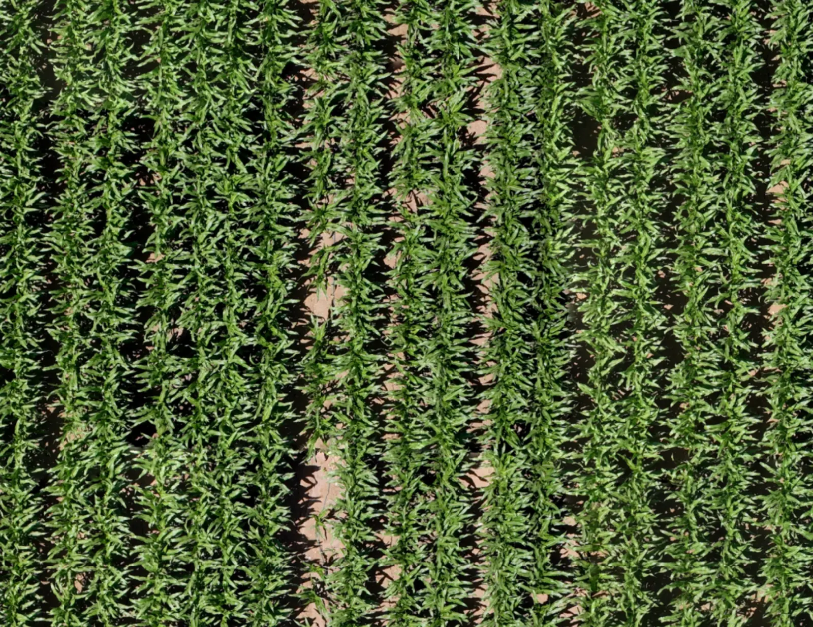
This looks like a broadleaf weed patch. I've outlined the suspected area on your map: about 0.07 acres.
Check this spot on the ground to confirm the weeds before deciding on treatment.
What it can do
It works on the map, with you.
The agent answers from the imagery of the field you have open: the area on screen, the rest of the map, and the places it marks.
Talk naturally about the field
Ask "What's happening here?" with the area you are looking at as context.
Let the agent explore the map
It can scan the field, zoom in and out, and inspect crop detail as part of the conversation.
Go from one patch to a wider search
Ask it to look for similar suspected issues elsewhere in the field and mark their locations on the map.
What you can ask
Weeds are one question.
Here are more an agronomist might ask on the same field: an odd-looking area, a change between scans, spots like one already found and where to start, then sending the drone back and turning what was found into a spraying map. Every answer ends with marked areas for your advisor to check or act on.
Look into something that looks off
Point at a lighter strip or a thin patch. The agent describes what it can see, outlines the area and says so when the picture alone cannot tell why.
South 1
Field 23 · 3 scans
What's going on in this lighter strip?
Along this strip the canopy is thinner and more soil shows between the rows. The plants look smaller than in the rows beside it. I've outlined it: about 130 ft long, 0.05 acres.
I can't tell the cause from the imagery alone. It's worth a walk to compare these plants with the rows next to them.
See what changed between flights
Every scan is kept by date. Ask what changed since an earlier one, and the agent sets the two dates side by side and marks the areas that changed differently from the rest of the field.
South 1
Field 23 · comparing 2 scans
What changed since the 11-13 scan?
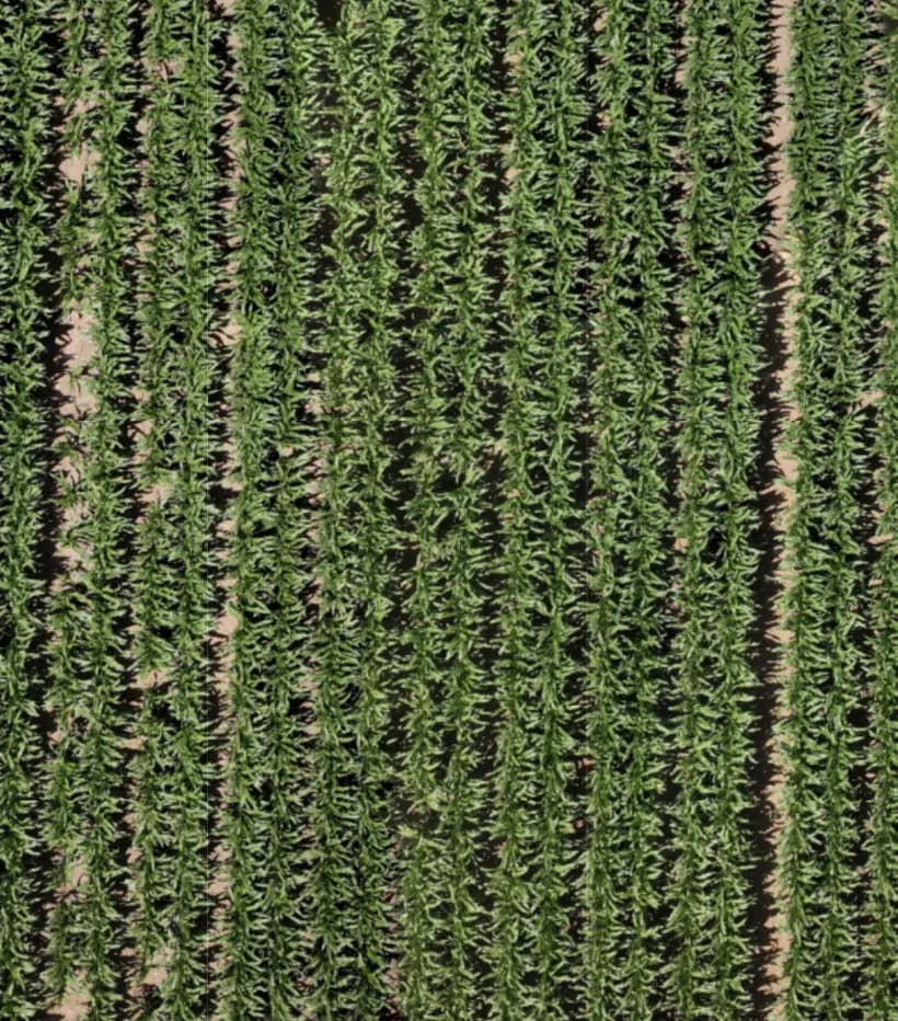
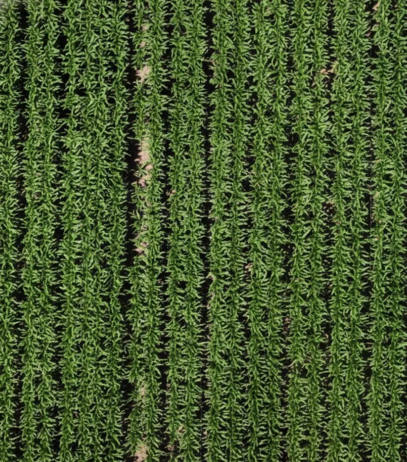
Most of the field filled in evenly over the 14 days. Two areas changed less than the rest: a strip near the north end where soil still shows, and a shorter one at the south end, in the same rows.
I've marked both on the 11-27 scan so you can check them on the ground.
Go from one spot to every spot like it
Pin one spot and ask for more like it. The agent searches the field for the same pattern and marks each suspected area with its location.
South 1
Field 23 · 3 scans
I pinned a gap in the row. Are there more like it?
I searched this field for the same pattern: a short gap in the row with bare soil showing. I found 4 more suspected spots and marked them. The largest is about 30 ft long.
Want me to look for it in the grower's other scanned fields too?
Know where to start tomorrow
Short on time? Ask where to go first. The agent puts the marked areas in order by size, change since the last scan and distance, and numbers them on the map.
South 1
Field 23 · 3 scans
I have two hours tomorrow morning. Where should I start?
Start at 1. It's the largest marked area, about 0.08 acres, and it changed the most since 11-13. Then 2 and 3: they're about 70 ft apart, so check them on one walk.
Leave 4 for last. It's small and looks the same as two weeks ago, so it can wait if you run short.
Get a fresh look without driving out
Want to see a field again, or check a spot the agent marked? Choose the field and press Scout field. A drone docked nearby flies it, and the new scan lands on the map, ready for your next question.
- On demand
- On a set rhythm through the season
- Follow-up on marked spots
Your fields
3 fields · 1 dock
- Field chosen
- Takes off from the dock
- Flies to South 1
- Captures the field
- Returns and charges
- Uploads field data
Turn findings into a spraying map
Turn the areas the agent marked into a precision spraying map and export it to a compatible spraying drone or ground sprayer. Check them on the ground first, or send the map straight on: your advisor decides. Treat the areas that need attention, not the entire field.
- Less unnecessary spraying
- Lower treatment costs
- More precise interventions
1Suspected areas
2Spraying map
A 30-minute call with the Infrag team
See it on fields you know.
The map it works on
From imagery to a decision.
Infrag is not a gallery of drone photos. Each field has one working map, its scans by date and its marked areas, so the next recommendation starts from what the field looks like now.
Every field
A current, detailed map of each field your growers enroll, stitched into one picture.
Every scan
Filed by date. Any two can be set side by side to see what changed.
Every suspected finding
Marked on the map with its location, and ready to become a spraying map once your advisor approves.
Field map
See the details.
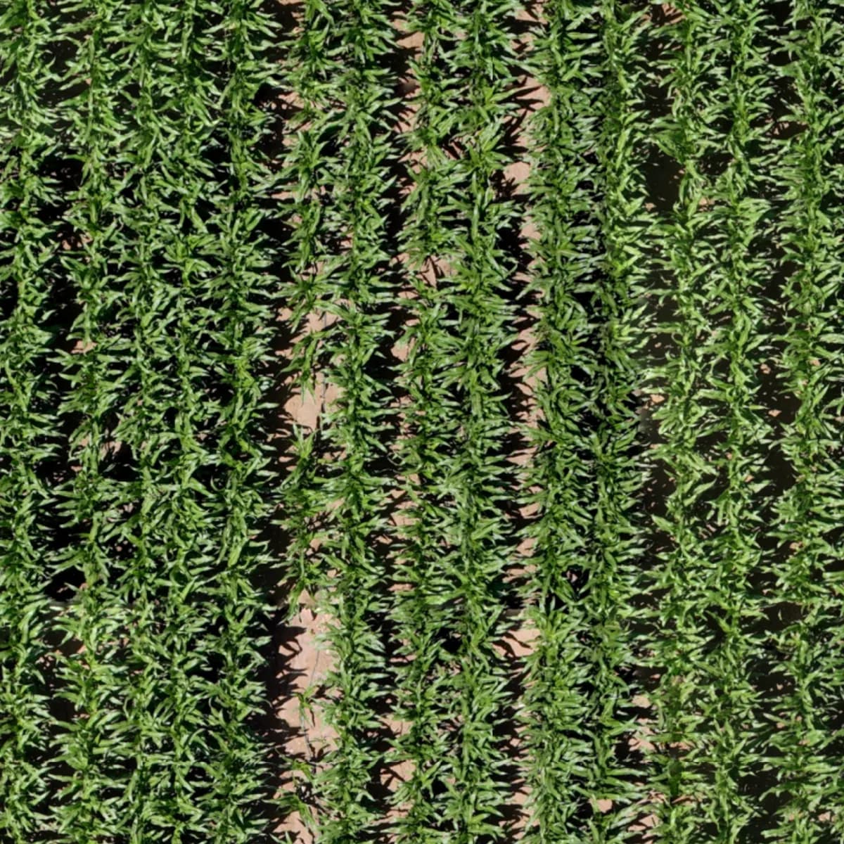
Detailed field imagery lets your team examine individual rows and areas, and decide where to take a closer look.
- The whole field in one stitched map
- Zoom from the field edge down to single rows
- Mark the areas worth checking on the ground
Measure and locate
From image to field location.
Get GPS coordinates for a selected point, draw shapes, and calculate dimensions and areas. Find the exact spot when you return to the field.
- GPS coordinates for any point you select
- Shapes drawn on the map, with their dimensions and area
- The same spot, found again on the next visit
Location
- Lat
- 31.857275
- Lng
- 34.993211
Interface redrawn for illustration.
Compare dates
See what changed.
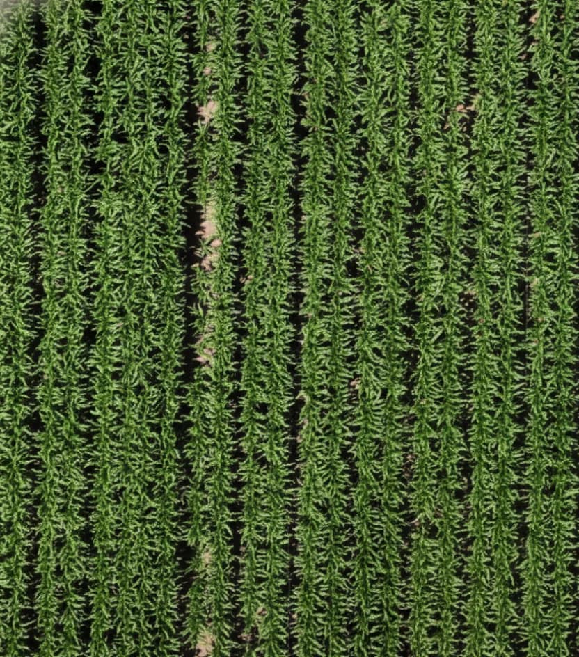
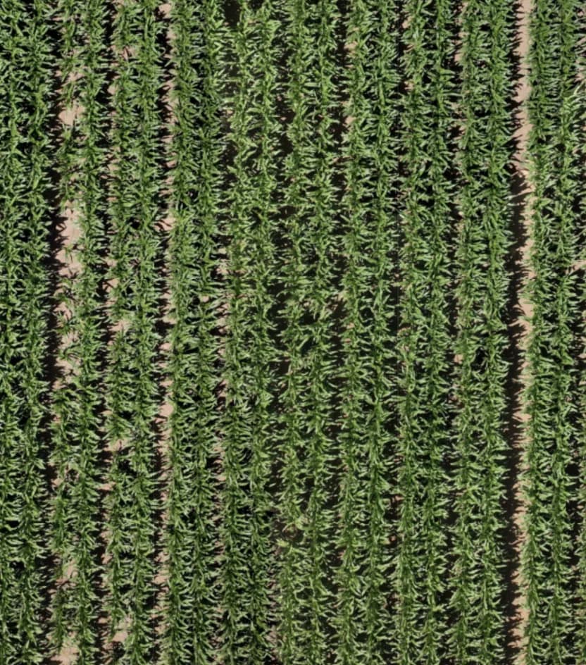
Two dates. The same field. Compare crop appearance between scans, before and after irrigation or fertilization, and through the season.
- Any two scan dates, side by side
- Before and after a treatment
- Something to show the grower, not just tell
Scan archive
Keep each field's history.
Scans are filed by date. Go back to earlier dates in the season to see which areas have changed and which need follow-up.
South 1
Field 23
Interface redrawn for illustration.
Delivered as a service
Flown your way. Mapped by Infrag.
You know the land and the growers. We bring the picture.
Nothing to install and nothing to integrate. From row crops to orchards, availability and scheduling are confirmed for each location.
In practice
Before the truck leaves the yard.
How an advisor uses it on a morning when there are more fields than hours.
The line
It points. Your advisor decides.
The agent reports what an area looks like and where it is. A suspicion with a location is the most it claims. What it is, and what to do about it, is your advisor's call: a walk to the spot where it matters, or an approved spraying map.
Infrag does
- Fly the field and build one detailed map of all of it
- Show visible differences in the crop
- Let the AI Agent inspect the imagery and locate suspected issues
- Give the location of every marked spot, and turn them into a spraying map
- Keep scans by date, and compare any two
Infrag does not
- Diagnose a disease, a pest or a deficiency
- Recommend a product or a rate
- Send a spraying map without your advisor's approval
- Replace your agronomist, crop advisor or PCA
- Sign the recommendation
Your advisor spot-checks what matters and approves the spraying map. The recommendation carries their name, not ours.
For your agronomy team
An AI Agent for your advisors.
It reads the map so your agronomists, crop advisors and PCAs can spend their field time on the areas that need a person. The expertise and the recommendation stay with them. It does the looking. They do the agronomy.
Questions
What agronomists ask about it.
It can see the field map. Ask about an area and it inspects the imagery, zooms in and out, and looks for similar suspected areas elsewhere in the field and marks their locations. It turns the marked areas into a spraying map, and with a docked drone it can send the drone back for a fresh look, subject to regulatory approval. What it gives you is a suspected area with a location, not a diagnosis.
No. The AI Agent marks every suspected area, so nobody has to walk the whole field. Your advisor spot-checks the ones that matter, the large ones, the unusual ones or a field they don't know yet, relies on the agent for the rest, and approves the spraying map before it goes to the sprayer.
The field divided into treatment zones, with only the zones over the marked areas set to spray. Your advisor approves it, then you export it to a compatible spraying drone or ground sprayer, so you treat the areas that need it, not the entire field. Tell us what you spray with and we confirm it works with your equipment.
No. Infrag shows suspected areas and where they are, and builds the spraying map. Your advisor approves it before it goes to the sprayer. The recommendation is your advisor's, and it carries their name.
No. It changes where scouting time goes. The AI Agent marks every suspected area, so your advisor spot-checks the ones that matter instead of walking the whole field.
The AI Agent is a conversation. An advisor asks what is happening in an area, and the agent inspects the imagery and marks suspected areas on the map. The map tools are the ones the names suggest: zoom, measure, mark and compare.
See it on a field you know.
A 30-minute call: a real field map, the AI Agent at work on it, and which way of working would suit your growers' fields.